The mysteries of Heidenkirche
Description
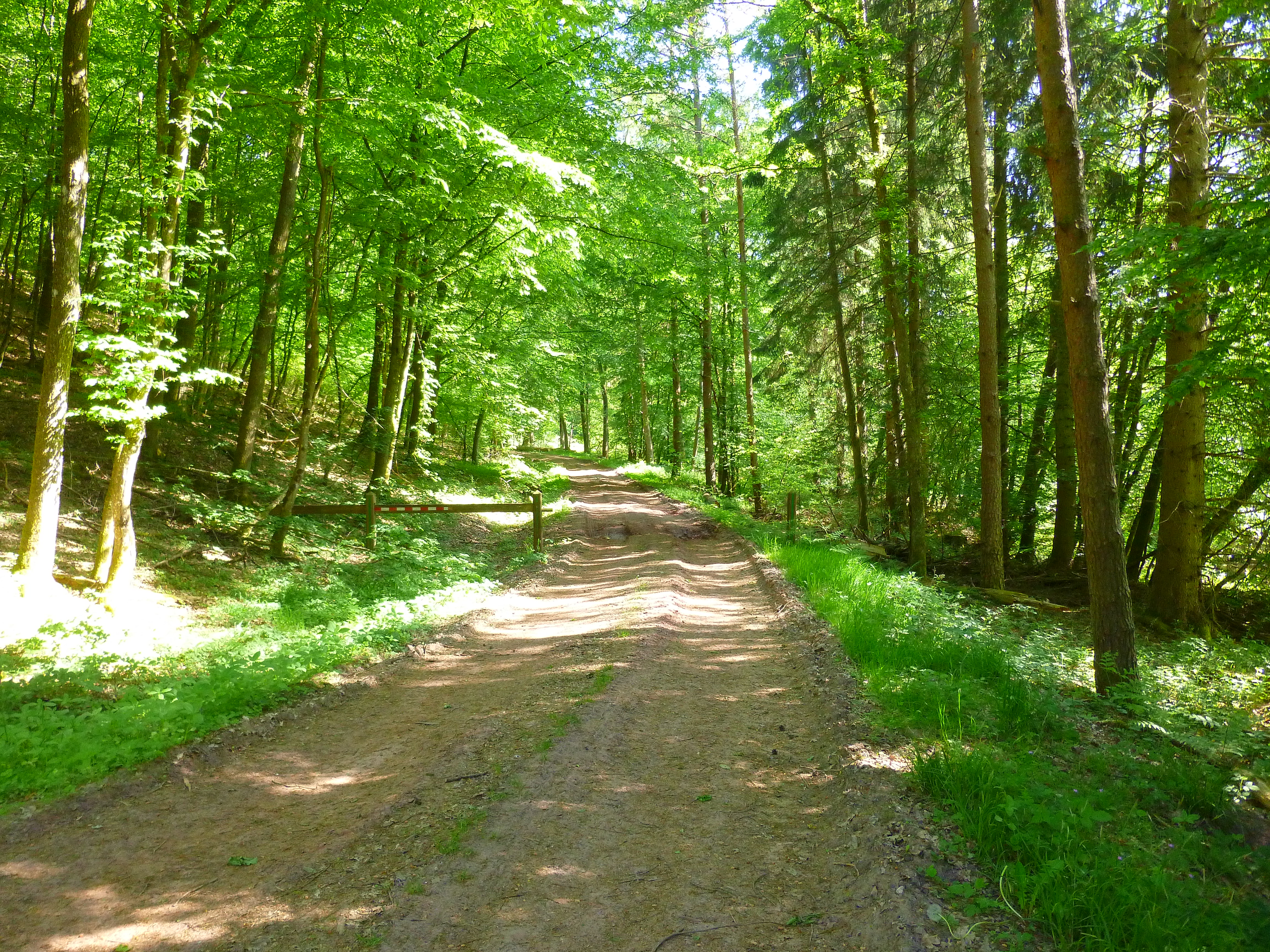
Leave the car park and take the path in the opposite direction to the Heidenkirche following the yellow ring.
At the Heidenkirche, go down the path facing the entrance to the ruin. At the bottom of the stairs, cross the stream on the bridge and climb the path following the blue ring to cross the fir forest. Then make a left onto the forest road of Grosse Nachtweid.
At both stadiums, take the forest road on the right (unmarked path) for 100 m to see the Celtic tumulus. Retrace your steps and pass between the two stages before entering the path on the left following the yellow triangle.
Take a right at the intersection following the yellow ring. Go around the Burg then come back to take the yellow triangle road towards the mill Ratzwiller.
At the Ratzwiller mill, follow the blue cross to Diemeringen. It is possible to make a detour to the Nassau Fountain by following the yellow triangle forest path along the Spielersbach (detour 20 minutes); at the fountain, retrace your steps and climb the Mittelschield forest road. At the 2nd crossing of the green easel, follow this sign.
At the electrical terminals on the right, go up the forest path, on the left side of the bridge, where you can see the fleur de lis lined posts.
Take a left following the green disk. Shortly after the cenotaph, go down the path to the right, then follow the hairpin path to the right. At the road, cross the Pont Neuf to return to the car park.
Variations:
Variant 1: North circuit, connecting points 1 to 6 and return to the starting point directly by the yellow diamond marked path. Distance of 9 km and walking time 2H30.
Variant 2: South circuit 1 - 3 - 6 and following. Distance of 10.9 km and walking time 2H50.
Variant 3: circuit marked yellow ring 1- 2 - 3 - 1. Distance 2.5 km and running time 0H50.
- Departure : Parking de la Heidenkirche, Butten
- Arrival : Parking de la Heidenkirche, Butten
- Towns crossed : Butten, Ratzwiller, Volksberg, and Soucht
11 points of interest
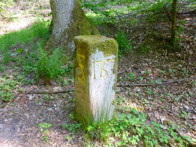
Borne armoriée de 1757 - PNRVN - A.Serylo  Small patrimony
1757 milestone
This 1757 marker is marked with an inverted Z, which represents a wolf trap or "Wolfsangel". This symbol of the county of Nassau-Saarbrücken is confirmed by the initials NS; it is an old boundary of the Birsbach ban.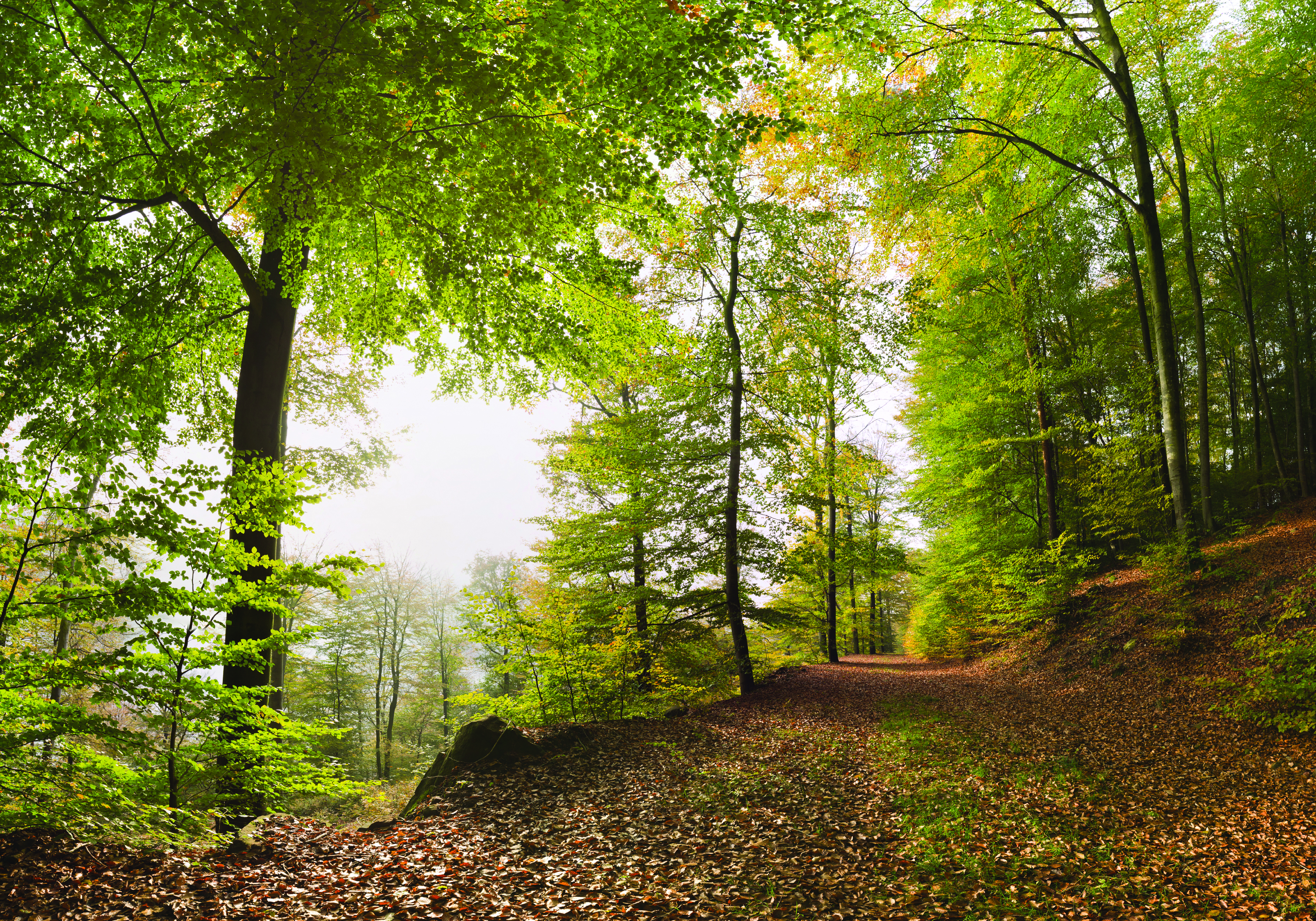 Small patrimony
The ruins of Heidenkirche
The Heidenkirche is the last remnant of the extinct village of Birsbach (14th century). Located in the forest, the Heidenkirche overlooks the small valley of Spielersbach. Excavations were undertaken in 1911, as well as in 1999 and the building was consolidated at the beginning of 2000.
At the rear of the ruins is a small rocky chaos (scattered sandstone blocks) of the sandstone conglomerate still called pudding.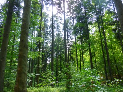
Sapinière - PNRVN - A.Serylo  Flora
FloraSpruce-fir Forest
The acidiphilic beech forest is home to the whitish alfalfa (Luzula luzuloides), the tiny oxalis acetosella or the graceful fronds of the female fern (Athyrium filix-femina). Historic Sites
Celtic Burial Mound
A tumulus is a mound of earth that the Celts raised above the burials, in about 500 BC. It has a diameter of 22 m and a height of 1.60 m.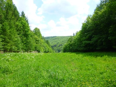
Passage des oléoducs et des gazoducs avec vue sur la vallée du Spielersbach - PNRVN - A.Serylo  Panorama
Passage of the Oil and Gas Pipelines
View on the Spielersbach valley on one side and on the Alsace Bossue on the other side.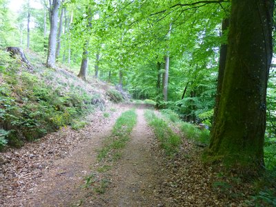
Levée de terre de la Burg à gauche - PNRVN - A.Serylo Historic SitesThe Burg
Vast circular enclosure of 9 to 10 m of width at the base and 1072 m of circumference, dating, it would seem, from the Gallo-Roman time, although no archaeological research proves it. The circular earthen embankment reveals in places blocks of stone from the ancient wall. This fortification may have served as a refuge or dwelling for various populations until the Gallo-Roman period.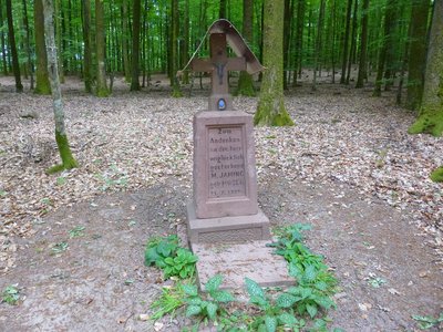
Cénotaphe marquant un décès en 1926 - PNRVN - A.Serylo Small patrimonyCenotaph
This monument, which does not contain a body, was erected in memory of a person who died here in 1926.- Historic Sites
Ratzwiller Mill
The Ratzwiller mill, dating from 1770, was never actually a grain mill, but a sawmill and brush factory. Nowadays, the building houses a bar. The building is representative of the traditional architecture of Alsace Bossue, with its schopf. At the beginning of the 20th century, the mill actually housed a forestry operation and a trout farm before turning to restoration in the 1950s. 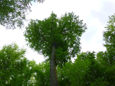
Chêne pédonculé remarquable - PNRVN - A.Serylo FloraPedunculate oak
Or Quercus Robur. Classified as a remarkable tree because of its location as a solitary tree near the spring, it is about 28 m high, 80 cm in diameter and about 150 years old.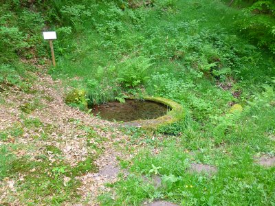
Fontaine Nassau - PNRVN - A.Serylo Small patrimonyNassau Fountain milestone
The source is surrounded by a circular basin dating from 1975. It is adjacent to a monument bearing the inscription NASS (for Nassau Saarbrück) and the date 1621 which was part of the demarcation of an enclave of Nassau County, in the middle of the Scheidwald forest, property of the Diemeringen Lordship.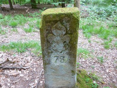
Borne frontière à fleur de lys - PNRVN - A.Serylo Small patrimonyFleur-de-lis boundary stone
This line of emblazoned terminals of 1767 endowed with a fleur de lys indicates the limit between the duchy of Lorraine, under suzerainty of the king of France, and the county of Nassau. They also mark the current boundary between the Bas-Rhin and the Moselle.
Forecast
Altimetric profile
Information desks

Tourist Office of Alsace Bossue
90 rue Principale, 67430 Lorentzen
Access and parking
Report a problem or an error
If you have found an error on this page or if you have noticed any problems during your hike, please report them to us here: