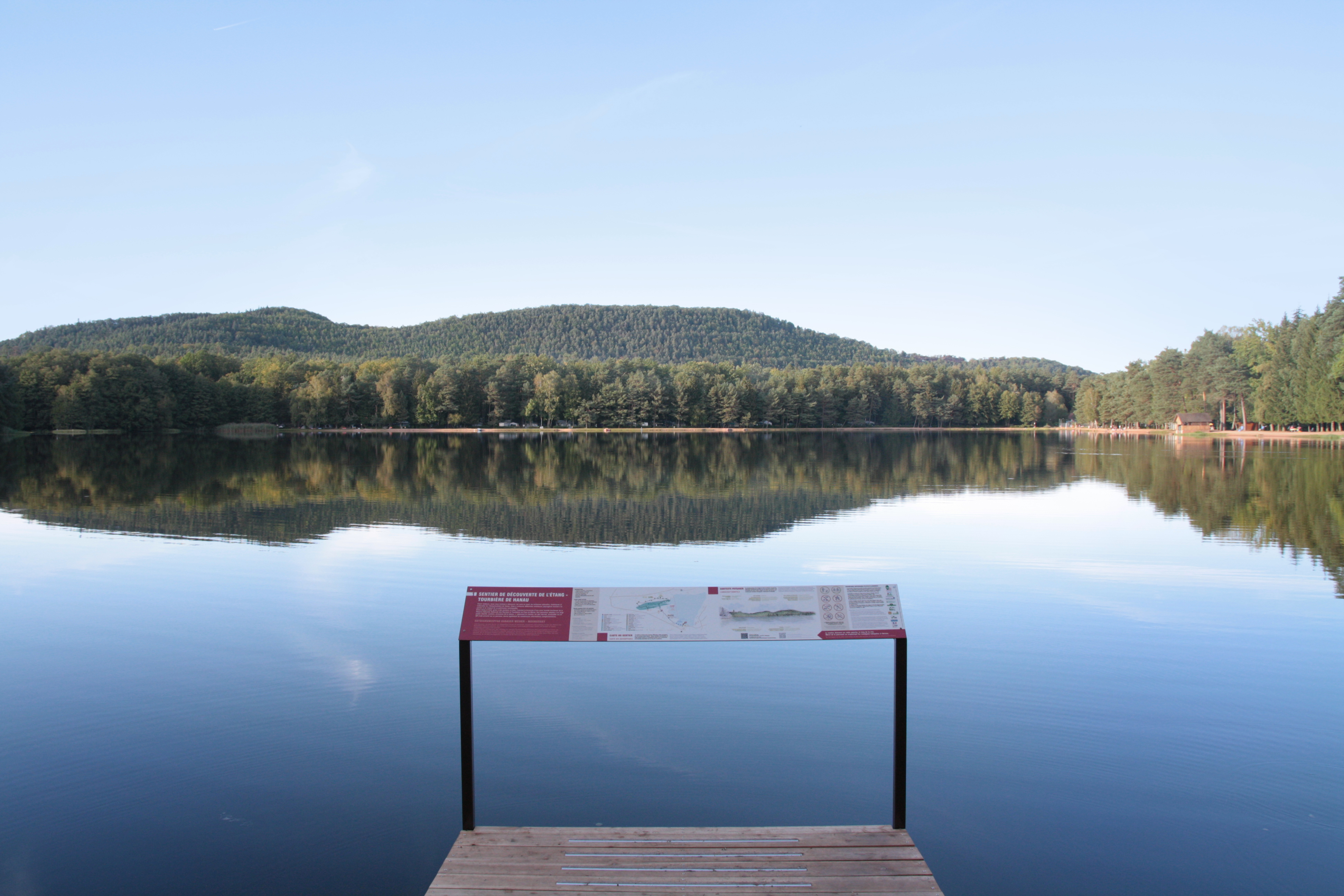
Falkenstein circuit
Description
From the parking lot, follow the forest road of Hanau pond.
Follow the blue cross towards the pond Lieschbach and the ruins of Falkenstein. Before camping Hanau, leave the paved road and take the dirt road and Kachler road. At Lieschbach pond, go around it and follow the path to the ruins of Falkenstein.
Climb to the ruins of Falkenstein, whose visit, instructive, allows to admire splendid panoramas. Coming down from the castle, you can go to the ruins of Helfenstein, on an unmarked path. Then return in 2 and follow the yellow triangle to Lieschbach, then to the Schlossberg Forest House.
Carefully cross the D662 and take the Hoellenderthal path following the yellow drive towards the Great Dunkelthal Pass. After the old railway line linking Niederbronn-les-Bains to Bitche, climb to the Col du Grand Dunkelthal then join the Petit Dunkelthal.
At the pass, continue in the direction of the pond Hanau down the yellow rectangle trail. Cross the D662 again and follow the D162F before entering Kachler Road. Then follow the small forest path on the left. At Hanau Pond, turn left onto the road to return to the car park.
- Departure : Parking at the Hanau pond
- Arrival : Parking at the Hanau pond
- Towns crossed : Philippsbourg and Baerenthal
7 points of interest
Guy Schnell - http://www.randoalsacevosges.com  Geology
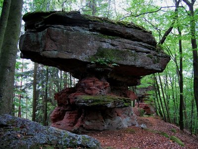
Rocher de l'Abrahamfels
Rock of the Abrahamfels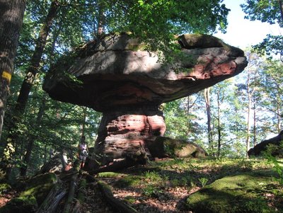
Guy Schnell - http://www.randoalsacevosges.com  Geology
Rocher du Pilsfels
Rock Pilsfels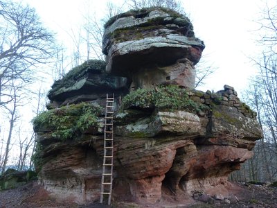
Château-fort de Rothenbourg - SYCOPARC  Castle-church-abbey
Rothenburg Chateau
The castle dates back to the 9th century. It was part of the County of Bitche in 1353 before becoming a den for knight-robbers, which earned him to be ravaged by the Strasbourg militia. It is in ruins since the 16th century. In 1938, he was integrated into the passive defense system of the Maginot Line and was occupied by the troops until 1940, but did not know the fight.
 Mountain pass
Grand Dunkelthal Pass
Located in the north-east of the Moselle, it is the lowest pass of the forest roads with 291 m of altitude.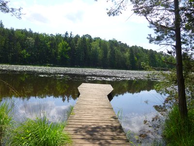
Étang de Lieschbach - PNRVN - A.Serylo  Pond
PondLieschbach Lake
An exceptional site sheltering a rare and fragile fauna and flora. Classified as a Biological Reserve, it is part of the National Nature Reserve of the rocks and peat bogs of the Pays de Bitche. Its bypass offers a beautiful view on the forest and the surrounding rocks.
Warning: access to the banks and trampling of the wetland is forbidden.
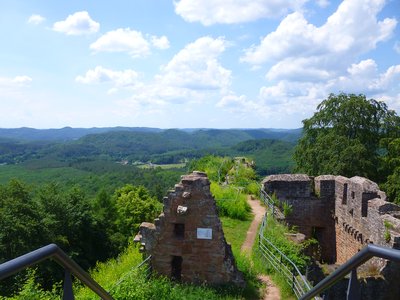
Un pan de mur à gauche, et la tour du puits, à droite - PNRVN - A.Serylo  Castle-church-abbey
Falkenstein fortified Chateau
Built in the 12th century by the Count of Lutzelbourg, it owes its name to the rock overhanging its courtyard, similar to a falcon. It was rebuilt after a fire caused by lightning in 1564, but its owner abandoned it to settle in the valley, creating the present Philippsbourg. A second fire in 1623 destroyed the castle, which was not rebuilt. Some of its stones were then used to build the surrounding villages. It was classified as a historical monument in 1929.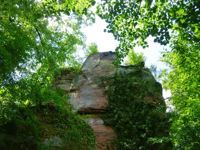
Le rocher massif qui aurait servi de base au château - PNRVN - A.Serylo  Castle-church-abbey
Helfenstein fortified Chateau (Ruins)
Direct neighbor of Falkenstein from which it is separated only by a ditch still well preserved, its construction dates from 1264, whereas it would belong to the duke of Lorraine Ferry III. It was besieged and destroyed by its neighbor in 1435. It served as a stone quarry and its walls disappeared. Long forgotten, he was found by Adolphe Malye in the 19th. Today, there are only scattered blocks engulfed by vegetation. More info here.
Forecast
Altimetric profile
Sensitive areas
- Impacted practices:
- Aerial, Aquatic, , Underground, Land, Vertical
- Sensitivity periods:
- JanFebMarAprMayJunJulAugSepOctNovDec
- Contact:
- Email : contact@parc-vosges-nord.fr Tél. : 03 88 01 49 59
- Impacted practices:
- Aerial, , Land, Vertical
- Sensitivity periods:
- JanFebMarAprMayJunJulAugSepOctNovDec
- Contact:
- Email : contact@parc-vosges-nord.fr Tél. : 03 88 01 49 59
Information desks
Information Office of Niederbronn-les-Bains - Head Office of Alsace Verte Tourist Office
6 place de l’Hôtel de Ville, 67110 Niederbronn-les-Bains
Tourist Office of the Pays de Bitche
2 avenue du Général De Gaulle, 57230 Bitche
Pays de Bitche Tourist Office - Baerenthal - Philippsbourg branch
1 rue du printemps d'Alsace, 57230 Baerenthal
Access and parking
Report a problem or an error
If you have found an error on this page or if you have noticed any problems during your hike, please report them to us here:
