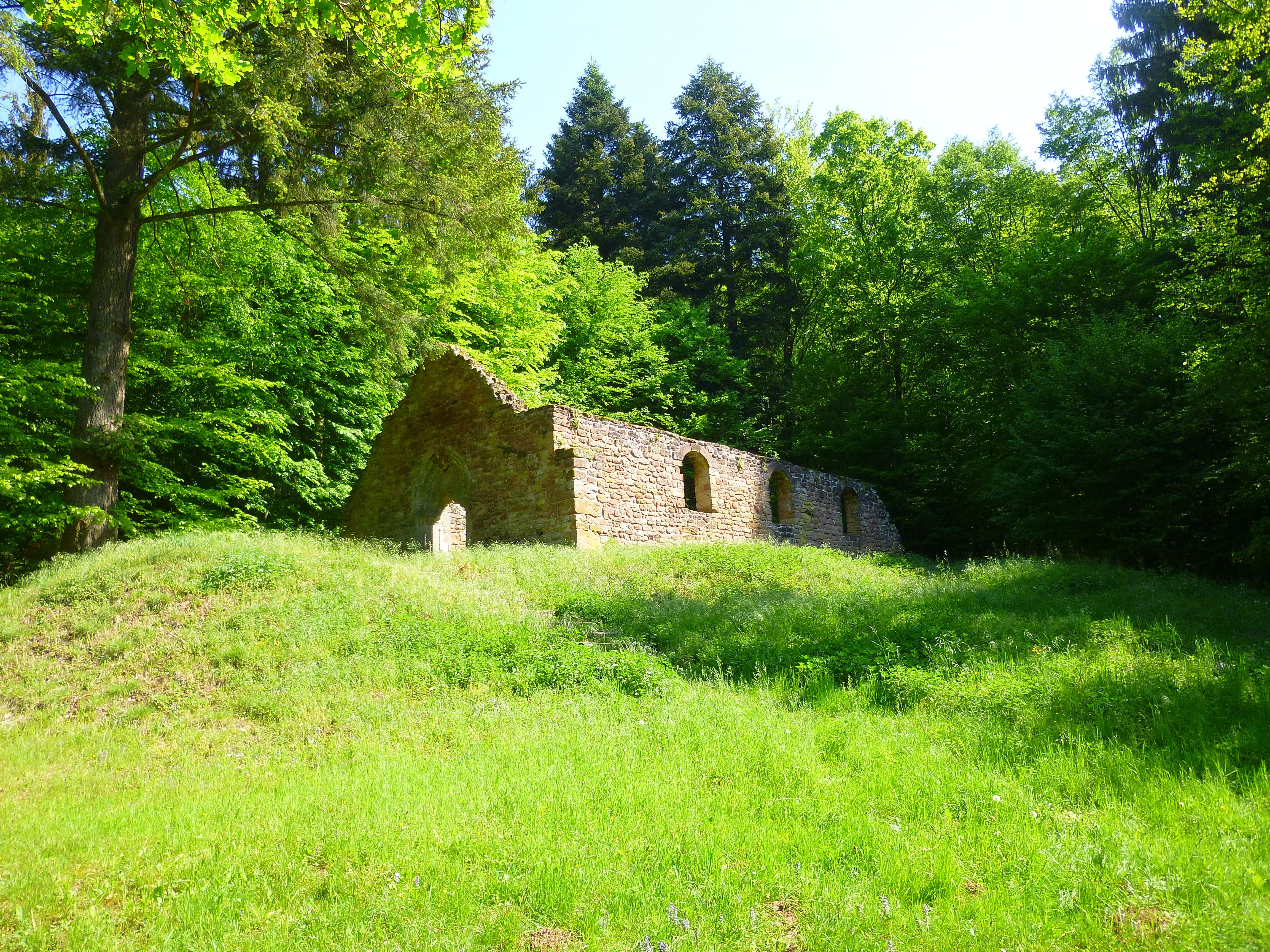
Heidenkirche Falls
Description
Leave the car park of the Heidenkirche following the yellow triangle towards the remains of the Heidenkirche. Climb the stairs to the right on the other side of the picnic table.
For the rest, follow the green ring tag. Get off on the path opposite the entrance to the Heidenkirche. Take the path on the right marked green ring towards Saumuehle.
Leave this path for a path on the left. Shortly after, cross the ravine (slippery floor!).
Shortly before the D723, follow the green ring to the left. Cross the D723 and enter the forest path of the cherry trees. At the intersection, turn left.
At the forest path of the ravine, turn right. Take the second right at the next junction. At the deep ravine, go slightly to the left and cross the ravine by the way. Walk down the ravine.
Before the hamlet Saumuehle, start in the opposite direction on the other side of the stream. The skid trail regularly rises to the right of the ravine. This track spans a beautiful stone culvert. Further on, you can see the beautiful sandstone projections that form the waterfalls.
Turn right on Cherry Road, then left onto Goschwiller Forest Road.
Cross the D723 again. At the first intersection, go straight. Take a 500m long parcel line that joins a gravel road that you take on the left.
At the big crossroads marked by the sign "forest of La Petite-Pierre Nord", turn right and then left to enter the fir tree. Go down the track to the theater, near the Heidenkirche, then reach the car park.
- Departure : New bridge parking
- Arrival : New bridge parking
- Towns crossed : Butten
8 points of interest

 Small patrimony
The ruins of Heidenkirche
The Heidenkirche is the last remnant of the extinct village of Birsbach (14th century). Located in the forest, the Heidenkirche overlooks the small valley of Spielersbach. Excavations were undertaken in 1911, as well as in 1999 and the building was consolidated at the beginning of 2000.
At the rear of the ruins is a small rocky chaos (scattered sandstone blocks) of the sandstone conglomerate still called pudding.
 Geology
Ravine
Ravine which digs in the sandstones of the intermediate layers: mottled sandstones of color purple or lie-de-vin.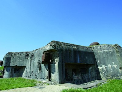
Fort Casso - J.C.Kanny 
FORT CASSO - A MAGINOT LINE OUVRAGE
Also called Rohrbach's work, it is a fortified work of the Maginot Line. This small infantry work of 3 blocks was built from 1934. Spared by the fighting of June 1940, it will however be sabotaged in 1944 and will be repaired only at the beginning of the Cold War. An association takes care of the tourist visits. More info here.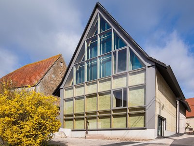
La Villa - Centre d'Interprétation du Patrimoine Archéologique - Boegly  Museum
The Villa - Interpretation Center of the Archaeological Heritage of Dehlingen
The Dehlingen Archaeological Heritage Interpretation Center provides an understanding of the work of archaeologists and how they bring to light and recreate the past. After his visit, it is possible to visit the archeology site of a Gallo-Roman villa through thematic trails. More info here.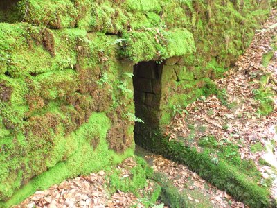
Ponceau de pierres - PNRVN - A.Serylo  Small patrimony
Stone culvert
Interesting stone culvert that spans a branch of the ravine. It was used as a rough refuge and hiding place during the last war.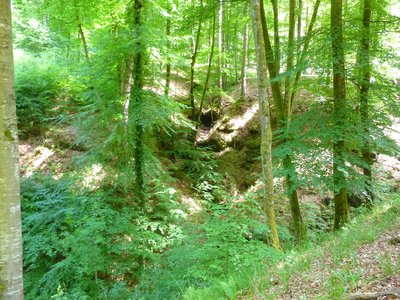
Les cascades, à sec - PNRVN - A.Serylo  Geology
Ondine Falls
Viewpoint on the sandstone outcrops that form intermittent waterfalls, particularly active during rainy periods.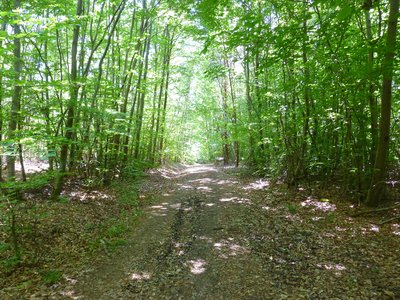
Jeune forêt au stade "gaullis-perchis" - PNRVN - A.Serylo  Flora
FloraForest diversity
Young deciduous forest at the "gaulis-perchis" stage, interesting for its diversity: oaks, wild cherry trees, ash trees. The "gaulis-perchis" is a stage of development of a young stand of trees of the same age resulting from seedlings, whose stems, rigid, measure between 5 and 20 cm in diameter.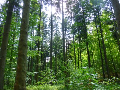
Sapinière - PNRVN - A.Serylo  Flora
FloraSpruce-fir Forest
The acidiphilic beech forest is home to the whitish alfalfa (Luzula luzuloides), the tiny oxalis acetosella or the graceful fronds of the female fern (Athyrium filix-femina).
Forecast
Altimetric profile
Information desks
Tourist Office of Alsace Bossue
90 rue Principale, 67430 Lorentzen
Access and parking
Report a problem or an error
If you have found an error on this page or if you have noticed any problems during your hike, please report them to us here:
