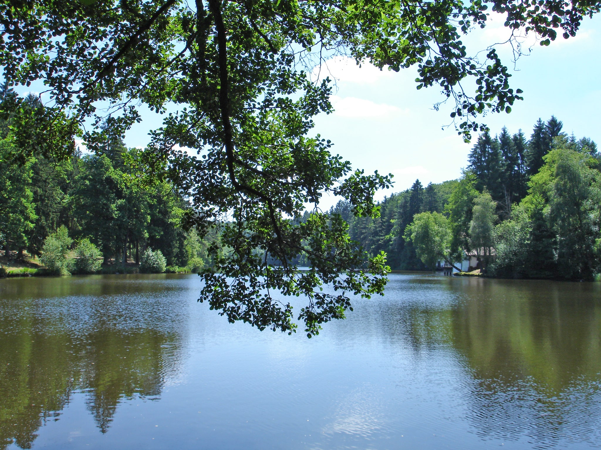
Around the Hasselfurth pond
Bitche Easy
Easy Club Vosgien
Around the Hasselfurth pond
2h20
7,6km
+160m
-160m
Loop
Embed this item to access it offline
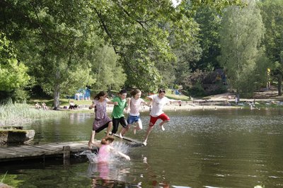
This circuit around the Hasselfurth pond, a few steps from the city, is full of wild waterside landscapes that will delight nature lovers.
Description
This circuit is part of the paths of excellence of the Pays de Bitche (n°2). It is marked out with a red disc, completed with the green "Sentiers d'excellence" badge, for the entire duration of the route. Starting from the car park of the Hasselfurth pond, follow the left bank of the pond (towards the fitness trail). Climb up to the Widerschall and Hochkopf passes. At the Hochkopf, go down on the left to reach the right bank of the Hasselfurth pond and return to the starting point.
- Departure : Parking of the Hasselfurth pond in Bitche
- Arrival : Parking of the Hasselfurth pond in Bitche
- Towns crossed : Bitche
1 point of interest
G Pecqueur  Pond
PondHasselfurth Lake
Forecast
Altimetric profile
Sensitive areas
Along your trek, you will go through sensitive areas related to the presence of a specific species or environment. In these areas, an appropriate behaviour allows to contribute to their preservation. For detailed information, specific forms are accessible for each area.
- Impacted practices:
- Aerial, Aquatic, , Underground, Land, Vertical
- Contact:
Email : contact@parc-vosges-nord.fr Tél. : 03 88 01 49 59
Information desks

Tourist Office of the Pays de Bitche
2 avenue du Général De Gaulle, 57230 Bitche
Access and parking
From the town centre of Bitche, follow the direction of Strasbourg. At the roundabout of the D620 and the D662, take the exit "Allée Jean Goss" (2nd exit coming from the centre of Bitche).
Report a problem or an error
If you have found an error on this page or if you have noticed any problems during your hike, please report them to us here: